Daniel Crouch Rare Books

    Member of ABA - United Kingdom


    Maps

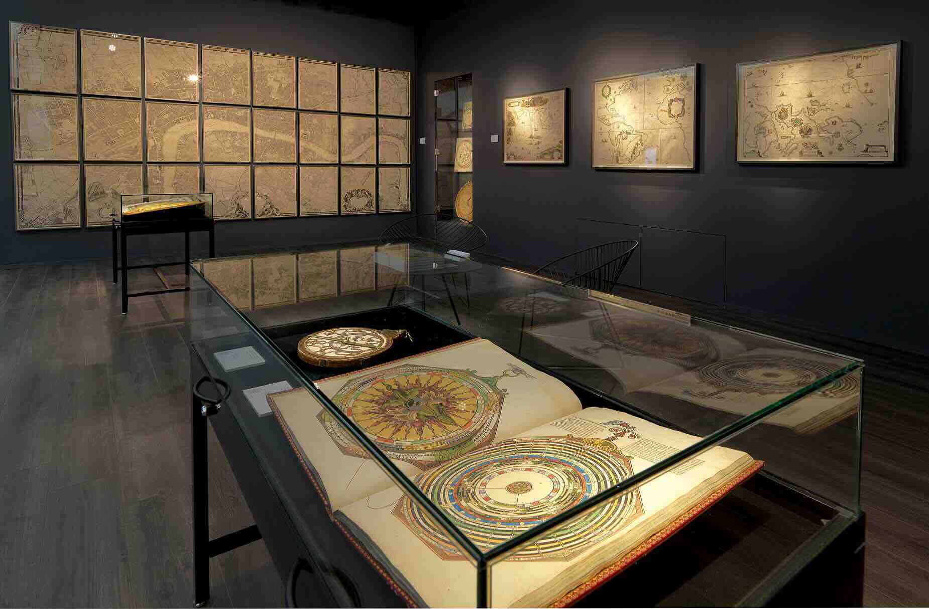
Daniel Crouch Rare Books is a specialist dealer in antique atlases, maps, plans, sea charts and voyages dating from the fifteenth to the nineteenth centuries. Our carefully selected stock also includes a number of fine prints, globes, planetaria, scientific instruments and a selection of cartographic reference books.

Our particular passions include rare atlases, town plans, wall maps, and separately published maps and charts. We strive to acquire unusual and quirky maps that are in fine condition.

Loading map...

4 Bury St London, N9 7LB United Kingdom Get Directions


Store Hours

Monday - Friday 10am - 6pm

Saturday - By appointment

Highlights

The first printed map of Alaska and the first map to focus on “Australia”
$35000
Two seminal maps of the Pacific: the earliest map focused on Alaska, the Northwest and upper California, and “the first printed map of Australia” (Tooley). In the map of North America the west coast is reasonably well delineated, and de Jode has chosen to include the mythical Strait of Anian separating America from Asia. The existence of a body of water between the two continents had been suggested but not proved when the map was made. Despite the channel between the continents, the figures populating America are outside tents and domed buildings which are distinctly Asian in appearance.
The Great Southern Continent
$856000
A spectacular wall map of astonishing beauty made at the beginning of the Dutch Golden Age. The present map draws on the cartography of Luis Teixeira (fl 1564-1613), whose name appears in the large banner title. He was a Portuguese cartographer from a famous mapmaking dynasty. He worked in Lisbon and the Portuguese colonies, but was also a friend of and collaborator with Dutch cartographers, contributing a map of Japan to Abraham Ortelius’s atlas. Ortelius and Cornelis Claesz published five of his maps between them, and all were specifically advertised as based on his work.
View More
“the great prose epic of the Elizabethan period” - the first English map on Mercator’s projection; the first map to name Lake Ontario; and one of the first maps to use the name “Virginia”
$1520000
The Wright-Molyneux Map is the first English map on Mercator’s projection, it is the first map to name Lake Ontario, and one of the first maps to use the name “Virginia”. Richard Hakluyt’s ‘Principall Navigations’ is first collection of English voyages, published at the height of Elizabethan maritime prestige and “the great prose epic of the Elizabethan period”.
View More
The first atlas on Mercator’s Projection
$1715000
The ‘Arcano de Mare’ is one the “greatest atlases of the world” (Wardington). This sumptuous atlas, first published in 1646 when its author, Robert Dudley, was 73, was not only the first sea atlas of the world, but also the first to use Mercator’s projection; the earliest to show magnetic deviation; the first to show currents and prevailing winds; the first to expound the advantages of ‘Great Circle Sailing’ – the shortest distance between two points on a globe; and “perhaps less importantly the first sea-atlas to be compiled by an Englishman, all be it abroad in Italy” (Wardington).
View More
Dudley’s original manuscript manual for the use and instruction of the officers of the Tuscan fleet
$951500
The only known manuscript example of any part of Robert Dudley’s magnum opus, ‘Dell’arcano del mare’ held in private hands. An astonishing survival: a working manuscript, seemingly specifically assembled for the eyes and instruction of the officers of the Tuscan Navy, the Knights of St. Stefano, rather than for a public audience. This suggestion is borne out by the wording of the first title for the work that Dudley has crossed out: ‘Compendio del Direttorio Marittimo: Il pr[im]o Tomo e intilato , Supplemento della Navigare. Nel pr[im]o libro si discorre dell ‘arte, piu Curiosa di Navigare.
The only known example of Peter Schenk’s wall map of Asia
$285000
A magnificent wall map of all Asia, extending from the Mediterranean and Arabia in the west to the Pacific and Australia in the east. The title appears in a separate decorative banner along the top; five vignettes of city views are attached along the bottom. An inset double-hemisphere map of the world surrounded by an elaborate allegorical cartouche, based on Joan Blaeu’s world map of 1648 (see Schilder, Shirley 371, and Wieder vol. 3) appears lower left.
View More